OVERVIEW
Electromagnetic Spectrum (EMS) is widely used for military operations. Competing demands for the radio spectrum means it’s strictly coordinated and controlled. Battlespace spectrum management is the planning, coordination and management of EMS to allow military systems to perform their functions without causing or suffering from harmful interference. ATDI’s flagship EW planning tool, HTZ Warfare, specialises in electromagnetic deconfliction.
Significant importance is placed on the performance of radio intercept receivers, direction finders and communications jamming equipment. Mission success often relies on the ability to intercept or jam enemy communications. And, to share information with the command structure without undue interference.
HTZ Warfare enables users to exploit spectrum-dependent systems, including communication links, electronic warfare sensors, radio jammers and radar detection. This radio propagation software solution is recognised around the globe by military, government and security organisations.
FEATURES
Key features include:
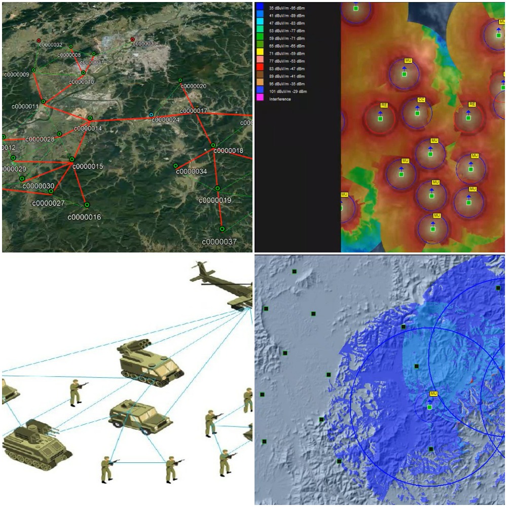
Communications network planning and optimisation – Coverage analysis, site search, interference mitigation and automated frequency planning of any radio systems between a few kHz up to 1 THz
On-the-Move mission planning– Network connectivity and coverage analysis in complex/ad-hoc mesh networks for OTM scenarios in the air, ground and maritime;
Radar simulation – Analysis of vertical and horizontal detection ranges for any deployment environment;
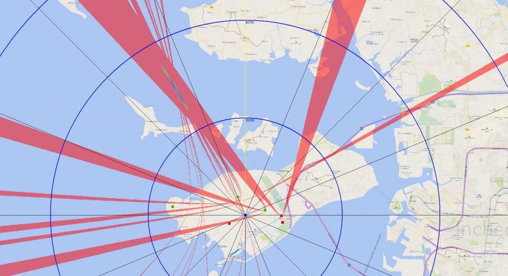
Direction Finding network design – Coverage and localisation accuracy analysis;
UAV/UAS mission planning – Flight path and elevation analysis optimisation between ground-to-air and air-to-air operations, including connectivity analysis. The counter-drone efficiency analysis calculates network coverage based on different height elevations or potential flight paths;
Counter-drone/counter-UAS – Site nomination and optimisation based on radar detection and DF localisation inputs to analyse jamming efficiency for target elevations and areas;
Coexistence analysis – Protects radars and CEW networks from civilian networks in dynamic spectrum operation environments;
Satellite – Supports GEO, MEO and LEO satellites and the earth segment coverage, connectivity and interference analysis. Import from ITU/SNS database directly into HTZW;
5G Non-Terrestrial Networks – 5G connectivity analysis for any spaceborne and airborne vehicle operations;
Tropospheric Link Analysis – LF/MF/HF groundwave and skywave link analysis based on the time of the day and year;
Automation capabilities – Customised workflows to support varying end-user requirements or system capabilities. These simplified interfaces support software users with no radio propagation background or users in the field;
Integration with third-party databases – Integrates ICS Manager no-DB users to import from DB like ITU BRIFIC/SNS/SMADEF XML and other civilian spectrum sources.
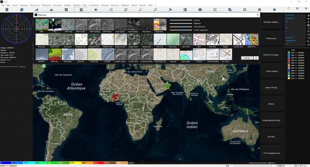
Access to MaXar images – Streams the latest cartography from map data supplier MaXar.
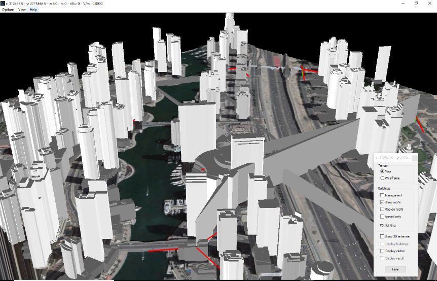
GIS Engine – supporting any mission for land, air and sea using the integrated cartographic library.
PRODUCT SUPPORT
HTZ Warfare removes the complexity from calculations in the field and simplifies the user experience intuitively across a wide range of applications, including:
- Communications and control
- Special forces
- Transmission troops
- Frequency services
- Drones
- Radars
- Direction finders
- Jamming
- Interception